Does Apple Maps Have Bike Routes? A Complete Guide for Cyclists
 Oct, 5 2026
Cycling App Matcher
Not sure if Apple Maps is enough for your next ride? Answer these questions to see which tool suits you best.
Recommended Tool:
App NamePros
Cons
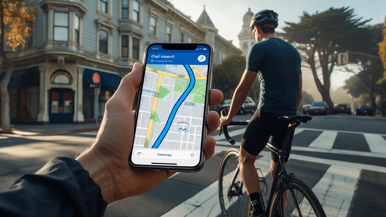
You’re standing on a street corner in San Francisco, your road bike leaning against a lamppost. You want to get to the Embarcadero without weaving through heavy traffic or climbing unnecessary hills. You pull out your iPhone, open Apple Maps, and tap "Directions." But wait-does it actually know where the bike lanes are?
The short answer is yes, but with some serious caveats that might annoy you if you’re used to dedicated cycling apps like Komoot or Strava. Apple Maps added cycling directions back in 2014, long before many competitors caught up. However, its implementation isn’t just about drawing a line from point A to point B. It’s about understanding how cities move cyclists around. If you’ve ever felt lost trying to find a safe route home after work, this breakdown will show you exactly what Apple Maps can do, where it fails, and how to squeeze the most out of it.
How Apple Maps Handles Cycling Directions
When you select "Cycling" as your mode of transport in Apple Maps, the algorithm shifts gears. It stops prioritizing the fastest driving time and starts looking for paths that are actually rideable. This means it avoids highways and interstates where bikes are legally prohibited. Instead, it hunts for streets with bike lanes, shared-use paths, and quiet residential roads.
Here’s the thing: Apple doesn’t have a massive army of people riding bikes around the world to map every single trail. They rely on data partnerships. They ingest data from local governments, OpenStreetMap contributors, and third-party providers. In major cities like New York, London, or Berlin, this data is surprisingly robust. You’ll see specific indicators for bike lanes. In rural areas or smaller towns? Not so much. The app might suggest a dirt path that turns into a mud pit after rain, simply because the digital map hasn’t been updated since 2019.
One distinct feature is the elevation profile. Unlike basic GPS units that just give you distance and time, Apple Maps shows you the climb. Before you start pedaling, you can swipe down on the route summary to see a graph of the elevation changes. This is crucial if you’re planning a morning ride and don’t want to accidentally tackle a 15% grade right off the bat. It won’t tell you the exact gradient percentage at each meter, but it gives you a clear visual warning of steep sections ahead.
Step-by-Step: Setting Up Your First Bike Route
If you haven’t used the cycling mode recently, it might be hidden under default settings. Here is exactly how to set it up on an iPhone running iOS 17 or later:
- Open Apple Maps: Tap the icon with the blue and white pin.
- Enter Your Destination: Type where you want to go in the search bar.
- Select Directions: Tap the blue "Directions" button at the bottom.
- Choose Mode: Look for the icons at the top of the screen. Tap the bicycle icon. If you don’t see it, tap the three dots (...) to customize which modes appear.
- Review Options: Once the route appears, look for alternative routes. Apple often suggests two or three options. One might be shorter but hilly; another might be longer but flatter.
- Start Navigation: Tap "Go." Ensure your phone is mounted securely on your handlebars.
During navigation, Apple Maps uses voice guidance. It’s not overly chatty, which is good when you’re wearing headphones and trying to hear traffic. It tells you when to turn, warns you of upcoming roundabouts, and occasionally alerts you to bike-specific hazards like sharp turns or narrow bridges. But here’s a pro tip: download the map area beforehand. If you’re going out of signal range, offline maps ensure you don’t lose your way mid-ride.

What Data Powers These Routes?
To understand why Apple Maps sometimes suggests weird routes, you need to look at the underlying entities. The system relies on a complex web of geographic data sources. It’s not just one big database; it’s a mosaic.
| Data Source | Type of Information | Reliability Factor |
|---|---|---|
| OpenStreetMap (OSM) | Crowdsourced trails, local paths, unofficial shortcuts | High in urban areas, low in remote regions |
| Municipal Government APIs | Official bike lanes, traffic regulations, one-way streets | Very High in cities with active cycling programs |
| TomTom & Mapbox Partnerships | Global road network, speed limits, turn restrictions | Consistent globally, less detailed on micro-levels |
| User Feedback & Telemetry | Real-time congestion, accident reports, temporary closures | Dynamic, improves over time with usage |
Notice the reliance on OpenStreetMap. OSM is a volunteer-run project where cyclists literally draw the paths they ride. If a new greenway opens in Austin, Texas, it might show up on Apple Maps within weeks if someone updates OSM. Conversely, if a city removes a protected bike lane due to construction, Apple Maps might still direct you there until the data catches up. This lag is the biggest pain point for daily commuters.
Limitations You Need to Know
Let’s be real: Apple Maps is not a professional cycling computer. It lacks several features that hardcore cyclists demand. First, it doesn’t integrate directly with heart rate monitors or power meters. You can’t see your watts per kilogram while navigating. For that, you’d need a dedicated device like a Garmin Edge or a Wahoo Elemnt Bolt paired with a separate app.
Second, the "bike-friendly" filter is binary. It either thinks a road is bikeable or it isn’t. It doesn’t let you filter by surface type easily. Want to avoid gravel? Too bad. Want to stick only to paved multi-use paths? You might end up on a busy sidewalk instead. In contrast, apps like Komoot allow you to specify surface preferences (asphalt, gravel, sand) before generating a route. Apple Maps assumes you’re okay with whatever the shortest legal path is.
Third, battery life takes a hit. Continuous GPS tracking drains an iPhone faster than most other activities. On a four-hour ride, you could lose 40-50% of your battery, especially if the screen is on. Always carry a power bank if you plan to use Apple Maps for long-distance touring.

Apple Maps vs. Dedicated Cycling Apps
Should you ditch Apple Maps for something else? It depends on your goal. If you’re commuting in a major city, Apple Maps is perfectly adequate. It’s free, pre-installed, and integrates with Siri. You can say, "Hey Siri, take me home by bike," and it works. But if you’re exploring unfamiliar terrain, a specialized tool wins.
Consider Komoot. It specializes in outdoor sports and provides detailed surface information. It knows whether a trail is suitable for a mountain bike versus a road bike. Strava focuses more on social sharing and segments, but its route builder has improved significantly. It pulls heatmaps from millions of rides, showing you where cyclists actually go, not just where the map says they can go.
| Feature | Apple Maps | Komoot | Strava |
|---|---|---|---|
| Cost | Free | Freemium (Pro features paid) | Freemium (Subscription required for advanced analysis) |
| Offline Maps | Yes (download region) | Yes (paid feature) | Yes (subscription) |
| Surface Detail | Low | High | Medium |
| Elevation Profile | Basic Graph | Detailed with segment breakdown | Detailed post-ride |
| Integration | iOS Native, CarPlay | Garmin, Wahoo, iOS Watch | Garmin, Wahoo, iOS Watch |
The decision tree is simple: Use Apple Maps for quick, urban commutes where convenience trumps detail. Use Komoot or Strava for weekend adventures, touring, or training where surface quality and performance metrics matter.
Tips for Better Navigation
If you decide to stick with Apple Maps, you can hack the experience to make it better. First, use Siri efficiently. Saying "Take me to [Place] via bike" is faster than typing. Second, check the "Avoid Highways" setting. While Apple Maps automatically avoids highways for cycling, ensuring this toggle is on prevents any glitchy reroutes onto expressways during updates.
Another trick involves using Shortcuts. You can create an automation that launches Apple Maps in cycling mode whenever you connect your Bluetooth bike mount. This saves fumbling with the screen while wearing gloves. Also, keep your iOS version current. Apple frequently tweaks routing algorithms based on user feedback. Updates often fix issues where the app suggested walking paths that were actually closed gates.
Finally, trust but verify. If Apple Maps directs you down a staircase, dismount and assess. Digital maps aren’t perfect physical representations of reality. Local knowledge beats algorithmic certainty every time. If you live in a city with rapid infrastructure changes, consider reporting errors directly in the app. Tap the "Report an Issue" button after completing a route. This feeds back into the telemetry loop, helping future riders avoid your mistakes.
Does Apple Maps show bike lanes specifically?
Yes, in supported cities, Apple Maps displays bike lanes and paths visually on the map interface. However, the level of detail varies by location. Major metropolitan areas usually have accurate lane markings, while rural areas may only show general roads without specific lane data.
Can I use Apple Maps for cycling without cell service?
Yes, provided you have downloaded the offline maps for your area before losing signal. Go to Settings > Maps > Offline Maps to download regions. Note that real-time traffic and dynamic rerouting won't work offline, but static routing and GPS tracking will continue.
Why does Apple Maps sometimes suggest walking routes for bikes?
This usually happens when the destination is very close, or when the app cannot find a viable cycling path between points. It defaults to pedestrian-friendly routes, such as sidewalks or parks, which may not be ideal for fast cycling. Check the alternative routes option to see if a road-based path is available.
Is Apple Maps cycling mode accurate for elevation?
It is reasonably accurate for general trends but should not be relied upon for precise training metrics. The elevation data comes from global terrain models, which can have minor discrepancies compared to barometric altimeters found in dedicated cycling computers.
Can I save custom bike routes in Apple Maps?
No, Apple Maps does not currently support saving custom multi-stop routes specifically for cycling. You can add multiple stops to a trip, but it won't save them as a named "route" like Komoot or Strava. You would need to re-enter the stops each time.